Drone’s mapping of Canna and Sanday
Drone’s mapping of Canna and Sanday ‘a world first’
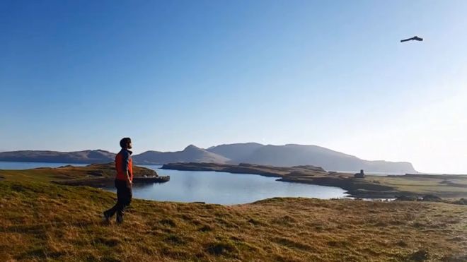
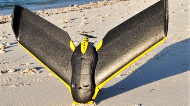
A fixed-wing drone was used to take more than 4,000 photographs of the islands, which are managed by the National Trust for Scotland (NTS).
NTS said Canna and Sanday in the Small Isles had been the subject of the most detailed mapping exercise ever undertaken of any islands in the world.
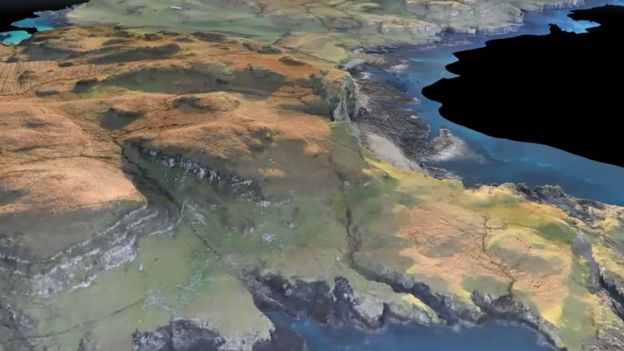
The project has mapped the location of dozens of archaeological sites.
New sites were also found in the photographs taken by the drone.
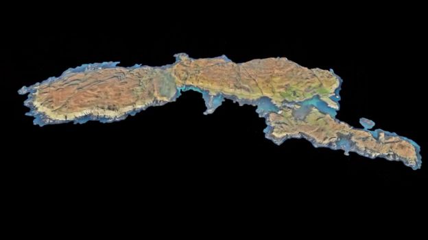
The digital map shows the shape and extent of turf and stone structures such as settlement mounds, shielings and hut circles.
Evidence of traditional rig and furrow cultivation strips were also mapped in detail.
The archaeological remains date from Neolithic times through to the Bronze Age and up to the 19th Century.
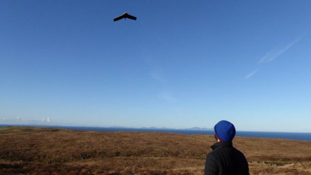
NTS commissioned Glasgow-based GeoGeo to carry out the drone survey in November using an ultra-high definition camera with the aim of pinning down the exact locations of archaeological features.
The images were processed to create a “minutely detailed” 3D map of Canna and neighbouring Sanday. The map is capable of being used in a 3D printer to create scale models of the islands.
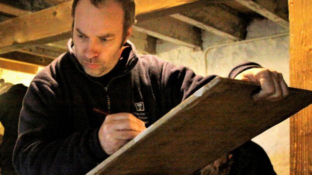
Paul Georgie, of GeoGeo, said his team spent five days on Canna in “miraculously calm and clear weather”, with the drone navigating itself over a total distance of 248 miles (400km).
He said: “We then took this data and processed on self-built super computers to produce the most complete 3D map of the islands to date.
“This not only shows detailed topography and vegetation at a game-changing three centimetres resolution but, with over 420 million data points, is currently the world’s largest complete island dataset captured by drone.”
Derek Alexander, NTS’s head of archaeology, said: “We’ve previously recorded archaeology on Canna and Sanday which proves that there were inhabitants as far back as the Neolithic, but this survey gives us information and detail we just haven’t had until now.
“We’ve been able to obtain exact plots of known sites but also recorded the extensive traces of cultivation, such as rig and furrow field systems that range in from the Bronze Age onwards.
“At its peak in the 19th Century, agriculture on Canna and Sanday was capable of supporting a population of 400.”
Mr Georgie said NTS required that the drone be operated in a way that did not disturb birds.
He said: “As it happens, we were more worried about the drone being attacked by the white-tailed sea and golden eagle populations, and we had evasive functions at the ready, from barrel rolls to Immelmann turns (a looping and rolling manoeuvre), to avoid contact.
“Fortunately, although birds did take a passing interest, we had no need to use this over Canna.”
Tag:News
You may also like

Safety in the maritime industry

Passenger Drone Transportation
